Mill Creek Crossing

Click on photo to enlarge
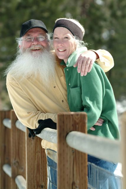
This photo was taken while crossing Mill Creek last Thursday evening at 7:41 P.M. on our way to a Spotted Owl territory.
Mill Creek is a tributary of the Santa Ana River and is part of the Mount San Gorgonio watershed. At 11,502 feet above sea level Mount San Gorgonio (Ol' Greyback) is the highest peak in Southern California.
The picture was taken to the east just outside of the tiny mountain enclave of Forest Falls, about 35 miles from our house (by road), in these same San Bernardino Mountains.
Labels: conservation, exercise, foot travel, nature, recreation, rewarding work
posted by Jim at 8:33 AM
![]()
![]()

6 Comments:
Where is this, Jim? It's gorgeous.
Hi mum-
To try and answer your question, I just added some details to the post.
;~)
Love this photo - wonderful memories!
Next thing she'll be asking if there's land for sale . . . ;D
That's beautiful. I wanna go. :) Hope you have a great weekend, Jim.
PS Our lupine just started to bloom in the last few days. I'll have to see how much difference in blooming times we are. It seems like your post was a long time ago.
That's beautiful and I used to play in the San Bernardino Mountains.
Post a Comment
<< Home